Skip to content Skip to left sidebar Skip to right sidebar Skip to footer

Notice Archive

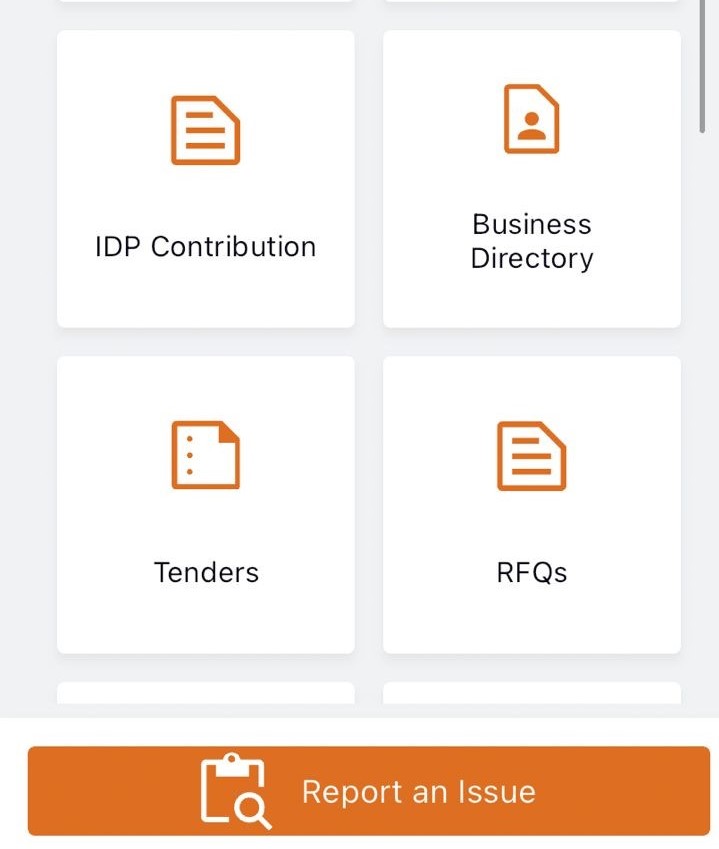
📣Did You Know? My Smart City App Business Directory

Did you know that you can now find out what is happening in and around George on the New My Smart City App?
Simply go to the Business Directory on the home page, and look up Things to do, Upcoming Events, Restaurants etc.

Download the NEW My Smart City – George APP NOW via the Apple App Store, the Google Play Store or via the My Smart City website www.mysmart.city or Scan the QR Code which can also be found on your current municipal statement

#CityofGeorge
#CityofOpportunities
#SmartCity

Public Notice: Unlock the power of Spatial Information with George Municipality’s GIS Public Viewer

Above is the The GIS Tool and Widgets are user-friendly and easy to access.

The George Municipality’s Geographic Information System (GIS) department is excited to introduce the GIS public viewer, a user-friendly online mapping tool designed to provide the residents of George and property professionals with easy access to spatial data that relate to the development of land, land transactions and investment planning.

The George Municipal mapping portal is your gateway to intelligent maps, focused applications and other geoinformation for the City of George. Answering the “where” question for any project, initiative or important decision is now easy for everyone!


GIS TOOLS/WIDGETS

The GIS viewer provides a wide variety of functionalities, including explore and query functions, cadastre database searches, draw and measurement tools, as well as GIS data import functions. The viewer also includes historical aerial imagery dated back as far as 1957, enabling a simple investigation into possible heritage assets and relevance on the site.  Comparisons between the imagery provide evidence relating to building activity, the timeline of development and the prevalence of biodiversity and related degradation, where applicable. The swipe widget can be used to compare historical imagery to the latest imagery by clicking on the layer and dragging the swipe bar across the screen.

The Elevation profile shows a land surface along a chosen path.  It is a graph with a distance on one axis and height (or elevation) on the other.  This profile enables a desktop investigation of the characteristics of the terrain, slopes, and overall shape of an area.  Elevation profiles can be used to assess factors like steepness, drainage issues, and suitability for construction, but also, among other uses, allude to potential risks, such as flooding, erosion or landslides.

LAYERS

The GIS viewer has various spatial layers, each containing valuable information stored in the attribute table. The property layer displays erf boundaries, erf size and erf number, while the zoning layer contains details on zoning parameters which includes the primary use and consent uses that may be applied for. The latest land use approvals are updated regularly for ease of reference have been granted.

The valuation layer displays information from the 2023 valuation roll, indicating the municipality’s assessed value of your property and is frequently updated. These layers collectively cover property information, property valuation and erf size, links to Surveyor-General (SG) diagrams, Integrating Zoning Scheme, administrative boundaries, information related to community services, Municipal Spatial Development Framework 2023 and related maps.

Additionally, the environment layer adds valuable spatial information that depicts data on rivers, slopes, natural protected areas, environmental buffer zones, OSCA applications, biodiversity areas, and more.  The environmental data enable property owners, property professionals or potential buyers to view the environmental constraints on the property and determine what level of protection or environmental custodianship is required in pursuit of their legislated ‘Duty of Care’.

USER GUIDE

To assist users, the GIS public viewer includes a step-by-step instruction for utilizing all available tools. GIS mapping portal gives access to Ready-to-print maps which are printable in PDF format.

For inquiries and further information, please contact the GIS department:

Email: gisadmin@george.gov.za

Office: 044 801 9117

Link to public Viewer: GIS Public Viewer

https://gis.george.gov.za/portal/home/

Mapping portal: GIS mapping portal


The layers you select are clearly illustrated on the map displayed, which you can print to generate your printable maps.

The home page of our GIS mapping portal where cadastral data, ready-to-print maps, 3D and historic imagery can be accessed among more.
OPENBARE DEELNAME: WYK 14 – SMME onderneming

OPENBARE DEELNAME: WYK 14
Kennisgewing word hiermee gegee om ‘n openbare deelname oor die bouplanne van die nuwe SMME-onderneming Hub-fasiliteit by te woon.
Datum: 12 Maart 2024
Tyd: 12:00 – 14:00
Plek: Pacaltsdorp Gemeenskapsaal
PUBLIC PARTICIPATION: WARD 14
Notices is hereby given to attend a Public Participation meeting regarding the construction plans of the new
SMME Business Hub facility.
Date: 12 March 2024
Time: 12:00 – 14:00
Location: Pacaltsdorp Community Hall

Unexpected Power Outage in Zone 8, Thembalethu

UPDATE: Unexpected Power Outage in Zone 8, Thembalethu
Issued by George Municipality, 29 February 2024 @12:00

An unexpected power outage has affected Zone 8 and the vicinity around All Brick since last night. The delay in repairs is attributed to addressing illegal connections in the area. The estimated time of repair is 3 hours.

The Municipality regrets any inconvenience caused and appreciates your patience as we work to restore the power supply.

UPDATE: Unexpected Power Outage in Parts of Parkdene, Ballots Bay and Thembalethu

UPDATE: Unexpected Power Outage in Parts of Parkdene, Ballots Bay and Thembalethu
Issued by George Municipality, 28 February 2024 @20:15

The power supply to potions of Parkdene, Ballots Bay and Zones 1, 2, 3 and 4 has been restored.

However, Zone 8 and the area adjacent to All Brick which is also experiencing an unexpected power outage will remain off for the rest of the night due to illegal connections that can only be removed tomorrow as a safety precautionary measure.

***

UNEXPECTED POWER OUTAGE IN PARTS OF PARKDENE, BALLOTS BAY AND THEMBALETHU
Issued by George Municipality, 28 February 2024 @19:55

An unexpected power outage occurred affecting parts of Parkdene Ballots Bay, and Zones 1,2,3 and 4 in Thembalethu. Electricians have been dispatched to investigate. The estimated time of repair is not available yet.

Unexpected pipe burst in Herold’s Bay

Issued by George Municipality, 28 Feb 2024 @19:45

A pipe burst at the corner of Slaapplek & Skuinsbank Streets in Herolds Bay. The estimated time of repair is 5 hours. A water truck is being dispatched and is roaming at Skuinsbank. It will later be stationed at the corner of Slaapplek & Skuinsbank Streets

Construction Work at Victoria and Mitchell Streets

Construction Work at Victoria and Mitchell Streets

Residents and businesses are advised that there will be construction work taking place along the road reserves of parts of Victoria and Mitchell Streets as highlighted in red on the attached aerial photo from the beginning of March 2024 to the end of June 2024.

This work is required for the upgrading of the existing 11kV cable. It will include trenching and backfilling, and breaking up and repairing tarred, concrete or brick paved driveways and parking lots. It will be ensured that trenching across driveways is re-instated the same day. Trenching across parking lots will be done in sections.

Direct notices will be given, and arrangements made in person a week in advance to residents and businesses whose driveways and/or parking lots are going to be directly affected.

The Municipality apologises for the inconvenience and thanks all residents for their co-operation.

PROJECT ENQUIRIES: Mr Mzwanele Gatyeni– 044 874 3917

Eskom Loadshedding Update: 27 February 2024

Tuesday, 27 February 2024: Due to sustained adequate emergency reserves to manage the evening peak and electricity demand, Stage 2 loadshedding will continue to be implemented until further notice. Stage 3 loadshedding will NOT be implemented as previously communicated. Eskom will communicate should any significant changes occur.

George will be affected as follows:
Tuesday 27/02/2024
18:00 – 20:30

Wednesday 28/02/2024
02:00 – 04:30

Thursday 29/02/2024
00:00 – 02:30
08:00 – 10:30

Friday 01/03/2024
14:00 – 16:30
22:00 – 00:30

Uniondale will be affected as follows:
Tuesday 27/02/2024
21:00 – 23:30

Wednesday 28/02/2024
05:00 – 07:30

Thursday 29/02/2024
03:00 – 05:30
11:00 – 13:30

Friday 01/03/2024
17:00 – 19:30

ROTATIONAL SWITCH ON AFTER LOADSHEDDING
Consumers are reminded to PLEASE use electricity sparingly after power returns. Please do not switch high-usage equipment on immediately after Load shedding.

Consumers are urged to turn off high-usage equipment and where possible to not switch on appliances such as stoves and kettles for at least 30 minutes after load shedding is scheduled to return. This will reduce the risk of overload tripping on the network.

Reporting power outages
Please do not phone the after-hours number or the Electrotechnical Department to report that you have no power immediately after load shedding is scheduled to be lifted. Please be aware of the rotational switching on i.e. areas are switched on one by one and not all at the same time to avoid overloading the system. Please wait at least 30 minutes before reporting no power. The Electrotechnical Directorate will be aware of a possible substation trip that needs to be sorted out.

Receive Eskom loadshedding notifications by downloading the free EskomSePush app from Google Play Store at https://sepush.co.za/

NEW END-OF-FIRE SEASON NOTICE, CONTROLLED BURNS PERMITTED

The official Western Cape fire season will end on 30 April 2024 and landowners and custodians in possession of controlled burn permits are allowed to perform burns with the usual safety requirements as of 1 May 2024.

Permit applicants are requested to contact the department by phone or email (information below) to make the necessary arrangements. The last allowable date for controlled burns this year will be 30 November 2024. Please note that this date is subject to change.

The municipality would prefer that only controlled burns for agricultural purposes – such as clearing fields for re-growth – take place and request landowners who are using fire to reduce biomass to consider alternatives such as chipping.

• A controlled burn permit is valid for 12 months from the date of issue but may not be used during the official fire season which is determined by Western Cape Disaster Management.

• On the day of the planned controlled burn, the permit holder must phone the fire station for permission to light the controlled burn. Permission may be withheld if the Fire Index for the day is too high.

• Controlled burns must occur Monday to Thursday, excluding public holidays, and all fires must be extinguished by 16h00 daily.

• Permits will not be issued inside the urban edge (among residential areas).

• The municipality appeals to the public to always be fire aware, no matter the time of the year.

• Please always exercise extreme caution, make fires in protected and designated areas only, and dispose of cigarette butts safely.

• Burning of garden refuse in residential areas is illegal.